
Home / American Sailing / ASA 105: Coastal Navigation
ASA 105: Coastal Navigation
The shorebased navigation certification: charts, plotting, tides, passage planning.
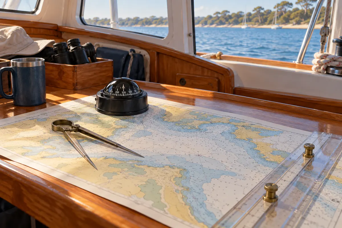
A navigation-focused course covering coastal chartwork, piloting, tides, currents and related navigation concepts.
- Who it suits
- Anyone in the ASA scheme heading offshore, and any sailor who wants navigation independent of a plotter.
- What it is not
- Theory only. It puts no sea time in your logbook.
Primary source: American Sailing certifications. Course structures and prerequisites can change; confirm the current version with the training body and school.
The course in context
Coastal Navigation develops the planning and position-finding work that supports a practical cruise. It is especially useful when you can follow a chartplotter route but cannot explain the underlying calculations or recognise whether the display is misleading. The aim is an independent method of checking a navigation decision.
Before you start
This is a navigation qualification rather than a practical sailing course. Ask the provider what introductory chart knowledge it expects and which charts, plotting tools and reference materials are supplied. Refresh basic arithmetic and unit conversions if you have not used them recently; speed matters less than a clear method.
Skills you will develop
Working with charts
Read positions, distances, bearings and charted information, then relate them to a proposed route. A plotted line needs context: hazards and safe-water choices matter more than a neat pencil mark.
Allowing for movement
Study how tide, current and other influences affect the relationship between heading and track. This helps explain why pointing towards a destination is not always enough to arrive there.
Checking position
Use navigation evidence to test your estimated position. Treat separate observations as a cross-check rather than assuming a single instrument is always correct.
Training and assessment
The work is shorebased and may be offered through different classroom or remote formats. It does not add sea time. Ask about tutor access, marked practice exercises and the final assessment arrangements before choosing a self-paced option.
Questions to ask the school
- Which plotting equipment and charts do I need?
- Will someone review my working, not just the final answer?
- How can I apply the theory on a practical passage?
Related learning
Other American Sailing courses
ASA 101: Keelboat 1
American Sailing’s entry certification, on a small keelboat in moderate conditions.
ASA 102: Keelboat 2
Develop more precise sail trim, boat balance and small-keelboat handling.
ASA 103: Coastal Cruising
The first cruising-boat certification: auxiliary power, day passages, moderate conditions.
ASA 104: Bareboat Cruising
Cruising skills for multi-day bareboat sailing; charter acceptance depends on the operator.
ASA 106: Advanced Coastal Cruising
Plan and lead extended coastal passages by day and night, with stronger navigation, watchkeeping and crew-management skills.
ASA 107: Celestial Navigation
Sextant work: sight taking, sight reduction, fixing a position without electronics.
ASA 108: Offshore Passagemaking
The top of the ASA cruising pathway: extended offshore passages and real self-sufficiency.
ASA 110: Basic Small Boat Sailing
The small-boat entry point, below the keelboat pathway.
Which course should you actually book?
Three questions — your experience, the boat you want to sail, and your goal — give you a starting course and the schools that teach it near you.